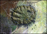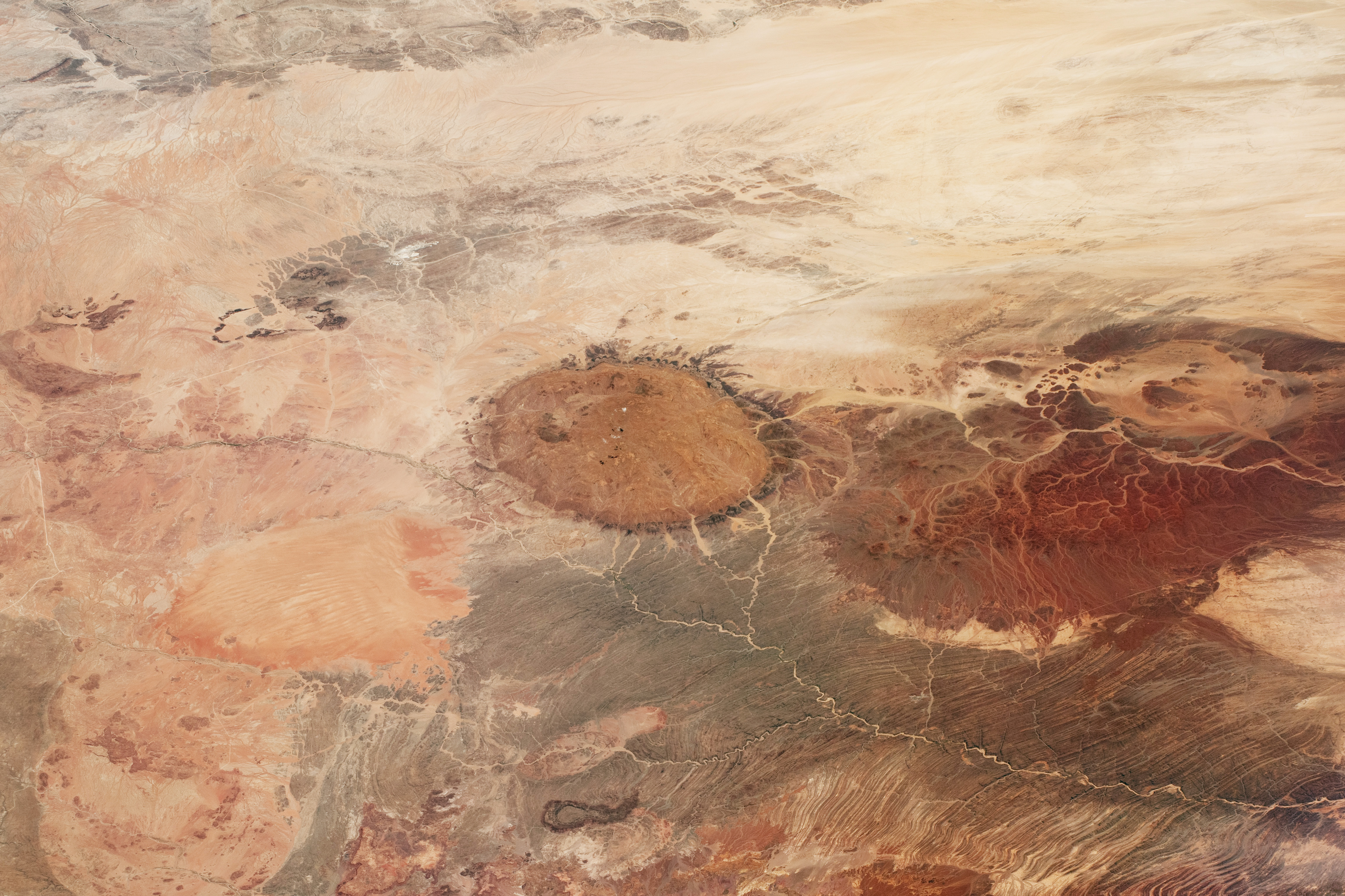
This photograph, taken by a crew member aboard the International Space Station, shows part of the central Namib Desert just inland from the Atlantic Ocean. Brandberg Massif, a circular mass of rock that forms Namibia’s highest mountain, is visible in the center of the image. The mountain stands 2,573 meters (8,442 feet) above sea level.
The massif is known by the name “Brandberg” in Afrikaans, Dutch, and German, and “Daures” in the local Damara language. The mountain is sacred to the San people, whose ancestors are thought to have created the famous “White Lady” rock painting.
The Namib is an ancient coastal desert where soils are thin or non-existent. The lack of deep soils makes it possible for a variety of colors and textures of different rock types to be observed from the space station. Brandberg Massif itself appears in dull red tones. Geologists classify the mountain as a granitic intrusion, similar to the well-known El Capitan massif in Yosemite National Park. All the granitic landscapes in this image were put in place as part of a continental breakup 132 million years ago, when the land masses we now know as South America and Africa began to drift apart.
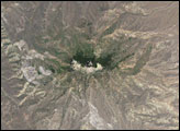
Much older rocks are also visible. Geologists think the gray-toned schist northwest of Brandberg formed 750 to 650 million years ago, and the red-toned sedimentary rocks to its southwest formed 300 to 250 million years ago. The Messum Crater, the remnant of one of Earth’s largest volcanic eruptions, formed at roughly the same time as the continental breakup.
Signs of human activity are also visible. The town of Uis, centered on a tin mine, serves as a jumping-off point for tourists visiting rock paintings and archeological sites in the area, especially in the Tsisab Gorge.
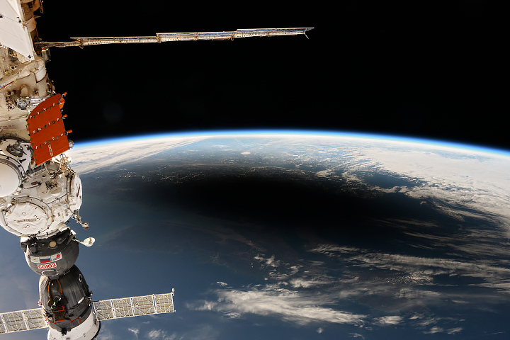
Astronaut photograph ISS070-E-76460 was acquired on January 21, 2024, with a Nikon D5 digital camera using a focal length of 170 millimeters. It is provided by the International Space Station (ISS) Crew Earth Observations Facility and the Earth Science and Remote Sensing Unit, Johnson Space Center. The image was taken by a member of the Expedition 70 crew. The image has been cropped and enhanced to improve contrast, and lens artifacts have been removed. The International Space Station Program supports the laboratory as part of the ISS National Lab to help astronauts take pictures of Earth that will be of the greatest value to scientists and the public, and to make those images freely available on the Internet. Additional images taken by astronauts and cosmonauts can be viewed at the NASA/JSC Gateway to Astronaut Photography of Earth. Caption by Justin Wilkinson, Texas State University, JETS Contract at NASA-JSC.